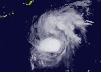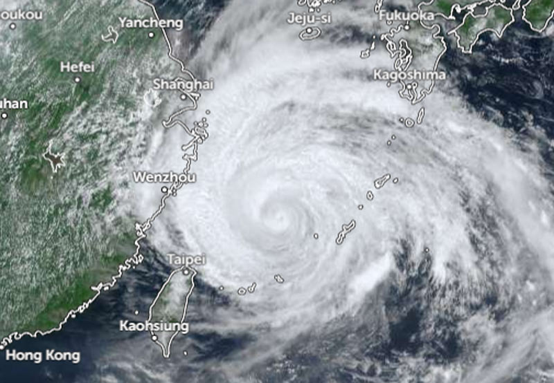
As of 11:00 a.m. local time on Saturday, Dolphin was heading west-northwest at a speed of 15 km/h (9 knots).
The system has a central pressure of 945 hPa (hectopascals), packing maximum sustained winds of 45 meters per second (85 knots) near its center and peak instantaneous wind speeds of 60 meters per second (120 knots), according to the JMA. The JMA reported a storm-force wind area (speeds of 50 knots or higher) extending 280 km (150 NM) to the north and 185 km (100 NM) to the south of the center.
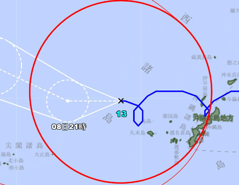
A gale-force wind area (speeds of 30 knots or higher) extends 560 km (300 NM) to the north and 500 km (270 NM) to the south.
As of 11:30 a.m. Saturday, based on the Zoom.earth tracking path, Typhoon Dolphin was located 500 km east-southeast of Wenzhou.
Earlier, at 10:00 a.m., the center of Dolphin was approximately 520 kilometers east-southeast of Wenzhou, according to the Hong Kong Observatory (HKO).
The HKO forecasts that Dolphin will move westward at about 10 kilometers per hour across the East China Sea. As Tropical Cyclone Dolphin moves toward the Zhejiang and northern Fujian regions, subsiding air from the storm’s outer circulation will continue to cause very hot weather in the area throughout the weekend and into Monday.
High temperatures will also trigger thunderstorms. Southwesterly airflow is expected to affect coastal Guangdong by the middle of next week.