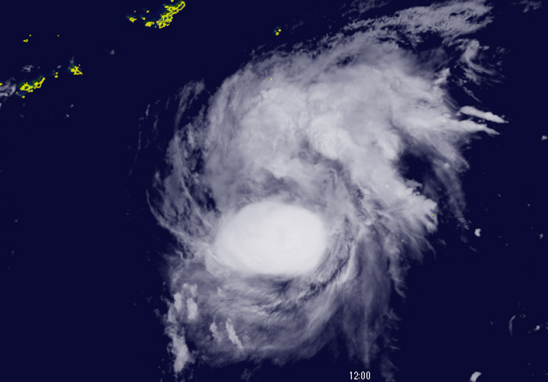
Darilaut – Tropical Storm Surigae, located in the Philippine Sea (Western Pacific Ocean), is forecast to intensify into a typhoon.
Surigae—known in the Philippines as “Queenie”—was moving west-northwest at a speed of 25 km/h (14 knots) on Thursday (Sept. 24).
The Hong Kong Observatory (HKO) stated that Surigae would gradually strengthen and move toward the waters east of Taiwan and the Ryukyu Islands, Japan, over the coming days.
As of 4:00 PM local time on Thursday, the center of Tropical Storm Surigae was located approximately 980 kilometers south-southeast of Okinawa.
The storm is expected to move west-northwest at a speed of around 22 km/h toward the waters east of Taiwan.
It will subsequently turn northeast and move toward the waters south of Japan.
According to the Philippine Atmospheric, Geophysical and Astronomical Services Administration (PAGASA), Tropical Storm “Queenie” is gradually intensifying while within the Philippine Area of Responsibility (PAR).
The storm could reach typhoon status by Sunday (Sept. 27), PAGASA said. Generally, the storm will move west-northwest until Friday (Sept. 25) before turning north-northeast on Sunday.
This system—designated as Japan’s Typhoon No. 26—packs maximum sustained winds of 20 meters per second (40 knots) near its center, with maximum instantaneous wind speeds of 30 meters per second (60 knots).