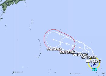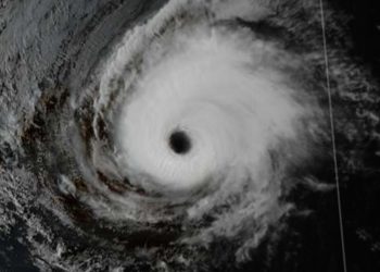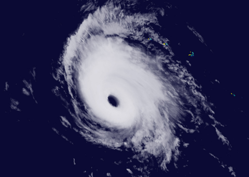

Darilaut – Typhoon Nolo was generally moving westward toward eastern Japan on Monday (Oct. 5). Nolo developed as a tropical depression in the Eastern Pacific—west of Mexico—on September 14 and approached Hawaii. Nolo has now become the 28th typhoon of the season, maintaining its status as a "Very Strong Typhoon." The eyewall (core) is clearly visible after the storm completed an eyewall replacement cycle. Maximum significant wave heights have reached 14 meters (46 feet), according to the Joint Typhoon Warning Center (JTWC). Over the past six hours, Nolo was located 1,470 km northwest of Johnston Island and has been moving west-northwest at a speed of 30 km/h (16 knots). Nolo is expected to continue moving west-northwest over the next 12 hours. Within 3 to 4 days, Nolo is forecast to turn toward the northwest. The JTWC projects that Nolo will maintain an intensity of approximately 185 km/h (100 knots) for the next 24 hours, supported by favorable upper-level outflow, low wind shear, and ample moisture. After 24 hours, a weakening trend is expected as wind shear conditions become increasingly unfavorable, outflow deteriorates, and dry air begins to intrude into the storm's core. The Japan Meteorological Agency (JMA) stated on Monday afternoon that Nolo—classified as a very strong typhoon—was moving westward at 30 km/h (16 knots). The system has a central atmospheric pressure of 950 hPa (hectopascals). The maximum wind speed near the center is 50 meters per second (95 knots), while the maximum instantaneous wind speed is 70 meters per second (135 knots). The area of storm-force winds (50 knots or greater) extends 130 km (70 NM), according to the JMA. The area of gale-force winds (30 knots or greater) extends 390 km (210 NM). Previously, according to the Central Pacific Hurricane Center (CPHC), Nolo no longer exhibited the characteristics of an annular storm. Intensity estimates based on satellite analysis—both subjective and objective—range from 95 to 115 miles per hour (102 knots). Based on combined data, the initial intensity is set at 115 miles per hour (100 knots). The initial movement is estimated to be westward, or at 280 degrees, at a speed of 15 knots. Nolo is expected to continue moving westward due to the influence of a strong subtropical high-pressure ridge to its north. Over the next few days, the typhoon is expected to maintain a similar speed or slow slightly while on this track. Towards the end of the forecast period, Nolo will slow down and turn toward the west-northwest or northwest. Nolo is situated in a favorable environment, with warm sea surface temperatures and low vertical wind shear; slight intensification is possible over the next 18 to 24 hours.