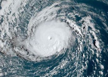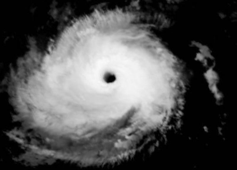
Track models show a very tight clustering for the next three days, indicating a high level of confidence in that portion of the forecast. Nolo is expected to be located west of the International Date Line by the 36-hour mark.
There is greater-than-usual variation in model outputs for days 4 and 5, particularly regarding Nolo’s potential interaction with a weather disturbance currently near the Marshall Islands (tropical cyclone seed 94W) and a longwave trough expected to move east of Japan.
The NHC forecast leans toward models at the southern end of the prediction range, indicating a continued westward track that closely aligns with previous predictions.
Nolo is likely to intensify further as it moves across waters with sea surface temperatures around 28°C and deep-layer wind shear becomes negligible.
On October 3, Nolo re-intensified into a Category 2 storm and could reach peak Category 4 intensity within approximately 36 hours, or possibly sooner.
The CPHC describes this as a dangerous system. Potential hazards include strong winds, heavy rainfall, storm surge, and rough seas.
According to Science.nasa.gov, hurricanes Polo and Nolo have brought destructive impacts to land amidst an active season in the northeast and central Pacific.
The 2026 tropical cyclone season in the northeast and central Pacific basin has been busy. As of September 28, the number of named storms in the region had risen to 20, nine of which reached hurricane strength. For comparison, the 1991–2020 average for that date was 13.5 named storms, including 7.4 hurricanes.