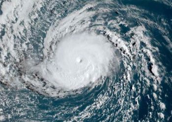
Darilaut – As of early Sunday (Oct 4), Typhoon Nolo is located west-northwest of Hawaii in the Central Pacific Ocean.
Nolo began developing on September 14 as a tropical depression west of Mexico (in the Eastern Pacific) and generally moved westward. It subsequently approached Hawaii, passing within 300 km south of Hilo.
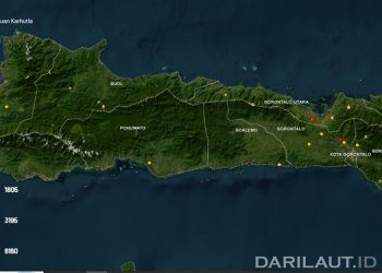
Now situated in the Central Pacific, Nolo lies west-northwest of Hawaii. According to the Zoom.earth tracking map, the storm has traveled approximately 6,600 km from its origin west of Mexico to its current position west of Hawaii.
Typhoon Nolo is generally expected to move west-northwest from the Central Pacific toward southern Japan in the Northwest Pacific.
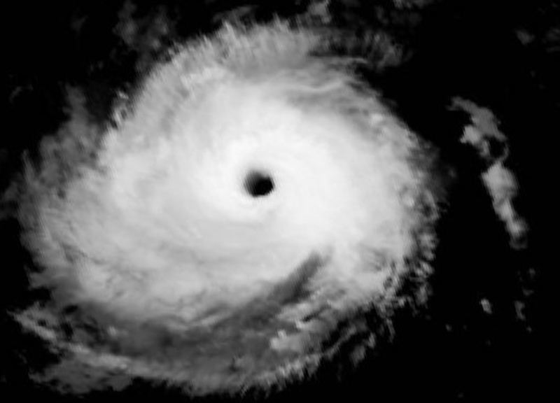
The Central Pacific Hurricane Center (CPHC) stated that Nolo may be experiencing a brief pause in its intensification phase. The storm exhibits a fairly symmetrical convective pattern, with cloud-top temperatures reaching -68°C in the southern eyewall and an eye temperature of approximately 14°C.
Nolo’s intensity is currently holding steady at 110 mph (95 knots). The storm is moving faster than anticipated, currently heading west (265 degrees) at a speed of 15 mph (12 knots).
A strengthening high-pressure ridge to the north is expected to cause Nolo to accelerate its westward movement, potentially reaching a forward speed of around 25 mph (20 knots) by day four, according to the CPHC.