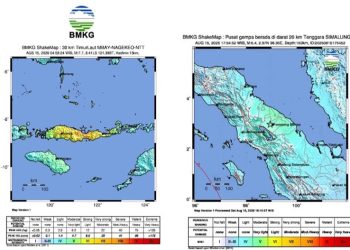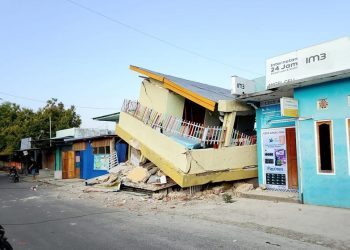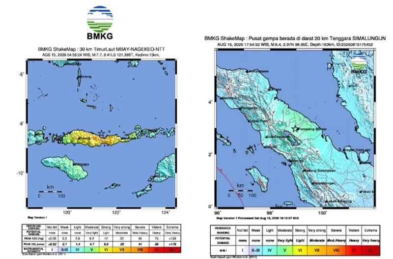
Darilaut – In the span of just one day, very strong earthquakes shook Indonesia, striking locations in the east and west. These powerful quakes occurred at sea and on land, separated by a distance of approximately 3,000 km (1,900 miles).
The first earthquake, an offshore event with a magnitude (M) of 7.7, struck near Flores, East Nusa Tenggara (NTT), on Saturday (August 15) at 04:58:24 WIB (Western Indonesian Time) or 05:58:24 WITA (Central Indonesian Time).
Subsequently, a second earthquake—with a magnitude (M) of 6.4—occurred on land in North Sumatra Province on Saturday afternoon. This quake struck at 17:54 WIB.
The NTT earthquake triggered a tsunami that was observed at ten coastal locations. Tide gauge networks recorded tsunami waves arriving in Reo (Manggarai) and East Manggarai with peak heights reaching 1.61 meters; in Maurole (Ende) at 0.94 meters; and in Bulukumba and Sape (Bima) at levels exceeding 0.5 meters. The Meteorology, Climatology, and Geophysics Agency (BMKG) lifted all tsunami early warnings at 07:30 WIB.
BMKG Head Teuku Faisal Fathani explained that these events are classified as shallow earthquakes resulting from activity along the Flores Back Arc Thrust fault. Historically, the Flores Back Arc Thrust structure holds a long record of destructive earthquakes, including a magnitude 7.8 (M7.8) quake at a depth of 28 km that struck the region in 1992.