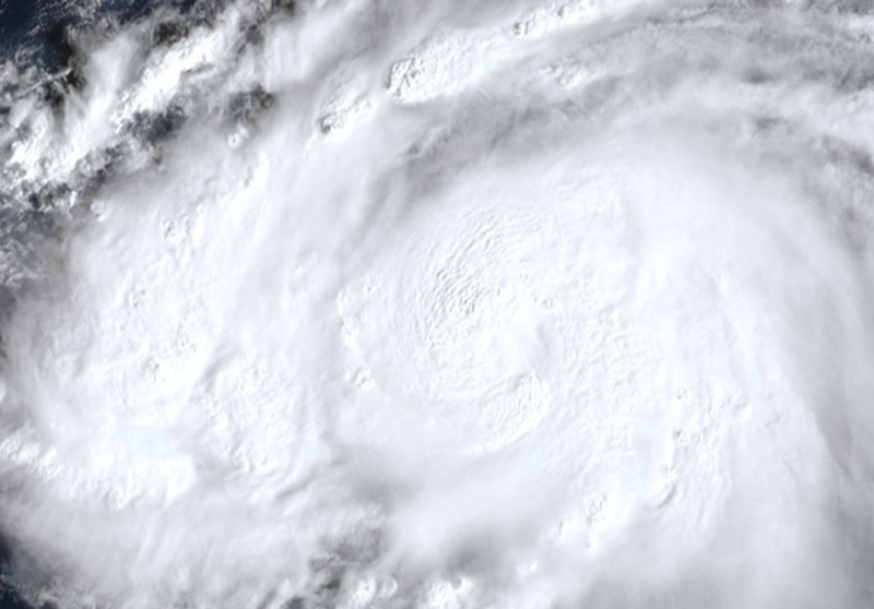
A second phase of intensification is expected to begin once the system gains sufficient forward speed and continues moving over waters with very warm sea surface temperatures.
According to the JTWC, the internal dynamics of this tropical cyclone are difficult to predict, introducing further uncertainty regarding its intensity. Therefore, the JTWC forecast maintains the same intensity level for the next 4 to 5 days.
Almost all current forecast models indicate a turn toward the west over the next 2 days.
HAFS-A and COAMPS-TC predict that In-fa will intensify, reaching 220–240 km/h (120–130 knots) within 36 hours.
The Japan Meteorological Agency (JMA) reports that In-fa is moving in a north-northwesterly direction at a speed of 15 km/h (9 knots).
The system has a central pressure of 992 hPa (hectopascals), with maximum sustained winds of 30 meters per second (60 knots) near the center and peak instantaneous wind gusts of 45 meters per second (85 knots).
According to the JTWC, the area experiencing winds of 50 knots or greater extends 75 km (40 nautical miles) from the center, while the area with strong winds of 30 knots or greater spans 220 km (120 nautical miles).