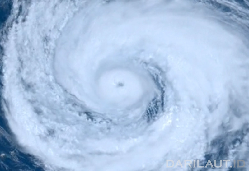
According to the Hong Kong Observatory (HKO), the typhoon is forecast to move westward at approximately 18 km/h across the Ryukyu Islands region and into the East China Sea.
Earlier, at 2:00 a.m. on Friday, the center of Typhoon Dolphin was located approximately 270 kilometers east-northeast of Okinawa. As of 11:00 p.m. Thursday, the center of Dolphin was located approximately 330 kilometers east of Okinawa.
Dolphin is set to move across the Ryukyu Islands and the East China Sea. Subsequently, the cyclone will move toward the Zhejiang region and northern Fujian, according to the HKO.
Maximum significant wave heights have reached 12.2 meters (40 feet), according to the Joint Typhoon Warning Center (JTWC).
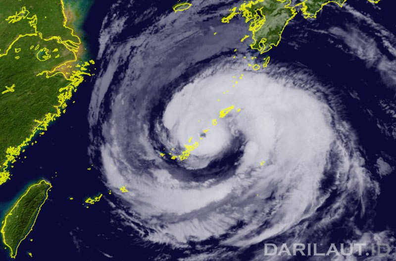
The JTWC forecasts that the system will continue moving almost due west over the next 60 hours.
Its forward speed is expected to slow slightly between 36 and 60 hours from now due to a weakening steering gradient between two ridge features.
After 60 hours, steering conditions will become more complex due to the passage of a mid-latitude low-pressure trough to the north, creating uncertainty regarding a potential recurving path.
Dolphin is expected to make landfall in eastern China in about three days as it begins to turn northwestward.
Its intensity is expected to remain steady at around 150 km/h (80 knots) for the next two days, the JTWC stated.