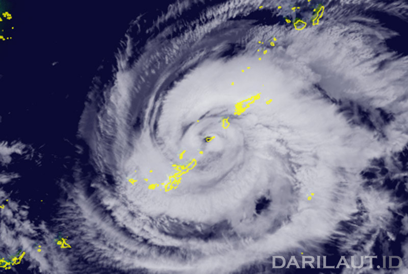
The storm area with wind speeds of 50 knots or higher extends 165 km (90 nautical miles) to the northeast and 130 km (70 nautical miles) to the southwest. According to the JMA, the area of strong winds—with speeds of 30 knots or greater—extends 440 km (240 NM) to the northeast and 330 km (180 NM) to the southwest.
The maximum significant wave height has reached 13.7 meters (45 feet), according to the Joint Typhoon Warning Center (JTWC).
The JTWC forecasts that, despite the storm moving over warm waters, it will undergo gradual weakening over the next 24 hours.
This is driven by persistent moderate-to-high wind shear, which is actively drawing dry air into the storm’s circulation.
The Hong Kong Observatory (HKO) projects that Saudel will move west-northwest at approximately 18 kilometers per hour, passing near the Ryukyu Islands and entering the East China Sea.