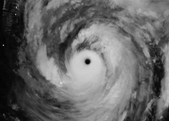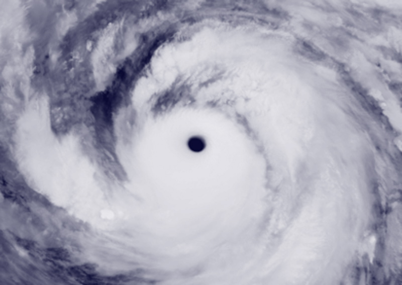
Darilaut – Typhoon Choi-wan rapidly intensified into a Super Typhoon southeast of Japan’s Ogasawara Islands—or north of the Northern Mariana Islands—in the northwestern Pacific Ocean early Monday (October 5).
Choi-wan’s eyewall is clearly defined, spanning 40 km. Super Typhoon Choi-wan is currently located 610 km from the Ogasawara Islands and 1,480 km south-southeast of Tokyo, or 950 km north-northeast of Saipan, Northern Mariana Islands.
Choi-wan—Japan’s 27th typhoon of the season—is classified as a “Very Strong Typhoon.” The Japan Meteorological Agency (JMA) stated on Monday that Choi-wan is moving slowly northward.
The system has a central atmospheric pressure of 925 hPa (hectopascals).
The JMA reported maximum sustained winds near the center of 50 meters per second (95 knots) and peak instantaneous wind speeds of 70 meters per second (135 knots).
The storm-force wind area (winds of 50 knots or greater) extends 165 km (90 nautical miles) from the center.
According to the JMA, the area of strong winds (30 knots or greater) extends 850 km (450 nautical miles) to the south and 650 km (350 nautical miles) to the north.
Maximum significant wave heights have reached 14.6 meters (48 feet), according to the Joint Typhoon Warning Center (JTWC).