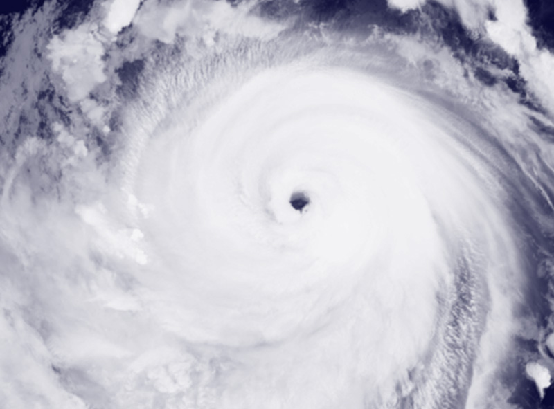
For the past six hours, according to the Joint Typhoon Warning Center (JTWC), Bavi had been moving northwestward at 30 km per hour (16 knots). The maximum significant wave height is 15.8 meters (52 feet).
Rapid weakening will occur as the system crosses land near the Yangtze River Delta, until dissipation occurs in two days.
Due to the wide wind field, a large swath of strong winds will persist offshore China, pushing northward toward the Yellow Sea, the JTWC said.
An alternative scenario would be for a low-level circulation to persist over land and emerge in the Yellow Sea after two days.
If this occurs, the system would acquire baroclinic characteristics as it interacts with the jet stream to the north, undergoing an extratropical transition as it crosses the Yellow Sea and the Korean Peninsula, according to the JTWC.
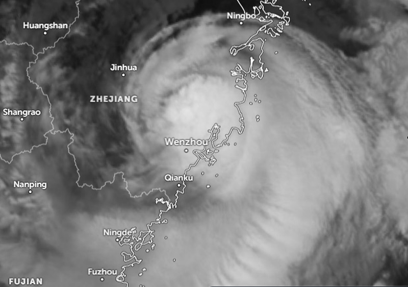
According to Xinhua, Typhoon Bavi had maximum sustained winds at its center of 40 meters per second upon landfall. Bavi first made landfall in Yuhuan City, a county-level city administered by Taizhou City, and then in Yueqing City, a county-level city under Wenzhou City, around midnight.
After landfall, the typhoon is expected to continue moving northwestward while weakening.
The typhoon is expected to bring heavy rain to coastal areas of Zhejiang and its central and southern regions overnight, and heavy to very heavy rain to its western regions on Sunday (July 12).