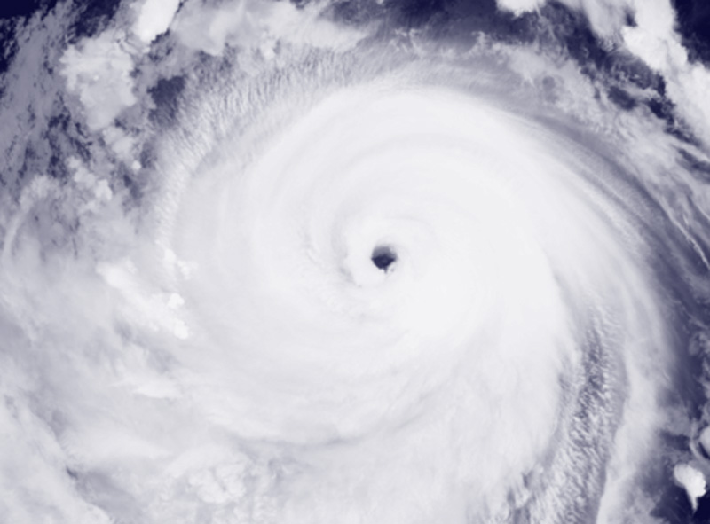
Bavi has been moving northwest at 24 km per hour (13 knots) for the past six hours. The maximum significant wave height was 7 meters (23 feet), according to the JTWC.
Super Typhoon Bavi was moving in the western Pacific Ocean toward the Northern Mariana Islands on Saturday (July 4).
Bavi formed a new eyewall 634 km east-southeast of the Northern Mariana Islands or 684 km east of Guam.
The maximum significant wave height was 13.4 meters (44 feet), according to the JTWC.
Super Typhoon Bavi then passed over the Northern Mariana Islands on Monday morning (July 6).
As it crossed the Northern Mariana Islands, Bavi formed a new eyewall (core). The system made landfall on or near the island of Rota.
Super Typhoon Bavi was located 65 km west-northwest of Rota on Monday afternoon, or 100 km north of Guam.
After hitting the Northern Mariana Islands, Bavi was already in the Philippine Sea, moving northwest at 20 km/h (11 knots). The maximum significant wave height was 16.5 meters (54 feet).
The system is heading east of Taiwan, southern Japan, and the east coast of China.