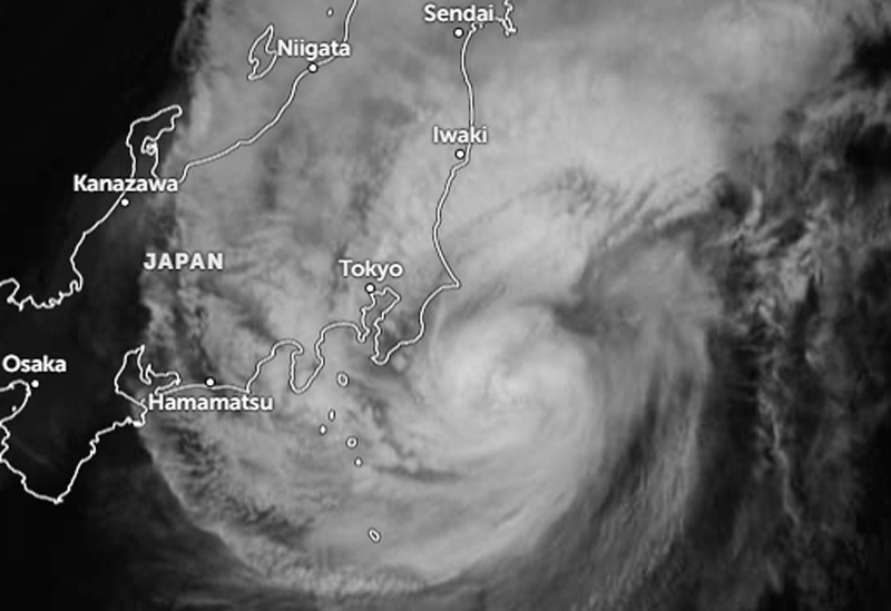
The JTWC projected a brief period of intensification, with peak winds reaching 140 km/h (75 knots), driven by favorable thermodynamic and synoptic conditions.
This temporary intensification phase was supported by Dujuan’s ability to briefly shield itself from detrimental dry-air intrusion while capitalizing on strong poleward outflow, the JTWC noted. After passing its point of closest approach to Yokosuka, the storm is expected to move across the edge of the Kuroshio Current—where thermal conditions remain favorable (temperatures of 28–29°C)—over the next 12 hours.
However, according to the JTWC, the extratropical transition (ETT) process is set to begin as thermodynamic conditions deteriorate due to rapidly dropping sea surface temperatures, persistent dry air advection, and destructive wind shear exceeding 40 knots within a 36-hour period.
Dujuan, Japan’s 25th typhoon of the season, is bringing heavy rains capable of triggering landslides and flooding.
Millions of people have been urged to evacuate, while hundreds of flights have been canceled. Transport services, as well as various events and activities, have been disrupted as the typhoon approaches.