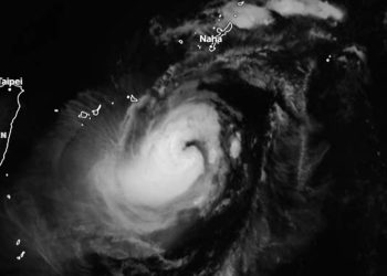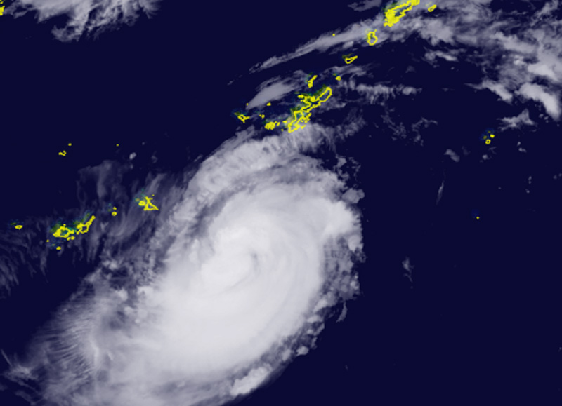
Darilaut – Typhoon Surigae was moving slowly early Sunday (April 27). Surigae is currently located south-southwest of Okinawa Island and is heading north; it is expected to subsequently turn north-northeast and then northeast.
Maximum significant wave heights have reached 7.6 meters (25 feet), according to the Joint Typhoon Warning Center (JTWC).
Surigae has been moving in a north-northeasterly direction at a speed of 7 km/h (4 knots) over the past six hours.
After entering an environment with weak steering currents about six hours ago, the system slowed significantly and is moving slowly northward at 5 km/h (4 knots).
The JTWC stated that the system appears poised to complete the formation of an eye.
The persistence of the eye will be a key factor determining near-term intensification, the JTWC noted.
Thermodynamic conditions are highly favorable for intensification, including a moderate probability of rapid intensification (RI) within the next 24 hours.
After 24 hours, increasing wind shear will be partially offset by strong poleward outflow, leading to a gradual weakening trend over the following three days.
The Japan Meteorological Agency (JMA) reported on Saturday that the area of storm-force winds (50 knots or greater) extends 55 km (30 nautical miles) from the center, while the area of strong winds (30 knots or greater) extends 280 km (150 nautical miles) to the southwest and 220 km (120 nautical miles) to the northeast.