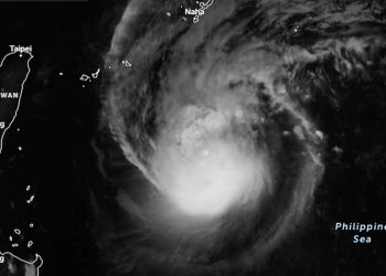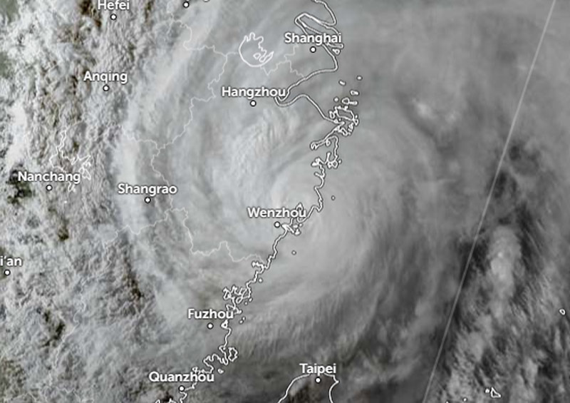
Darilaut – After making landfall twice on the coast of Zhejiang Province, East China, on the afternoon and evening of Sunday (Aug 9), Typhoon Dolphin weakened into a tropical storm on Monday (Aug 10).
Despite weakening, Dolphin continued to bring heavy rains that triggered the evacuation of hundreds of thousands of people. It also brought winds with maximum speeds of 20 meters per second.
According to the Hong Kong Observatory (HKO), as of 4:00 PM local time on Monday, the center of Tropical Storm Dolphin was located approximately 200 kilometers east of Nanchang.
The storm is expected to move west-northwest at a speed of about 22 kilometers per hour across the interior of East China and gradually weaken, the HKO stated.
Dolphin will move across East China today and Tuesday (Aug 11), pushing further inland and slowly dissipating.
Infrared imagery and animated radar data indicate that Dolphin made landfall along China’s east coast, northeast of Wenzhou, according to the Joint Typhoon Warning Center (JTWC).
According to the JTWC, Dolphin moved slowly southwestward for a time before making a rapid turn toward the northwest.
The Japan Meteorological Agency (JMA) reported that by Monday afternoon, Tropical Storm Dolphin was moving northwest at a speed of 15 km/h (9 knots).