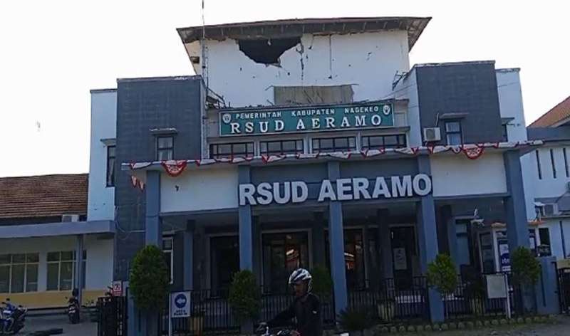
Darilaut – A tectonic earthquake with a magnitude (M) of 7.7 shook the Flores region, East Nusa Tenggara (NTT), on Saturday morning (August 15) at 04:58 WIB (Western Indonesian Time). The massive earthquake was followed by tsunami waves that reached 10 coastal locations.
The Meteorology, Climatology, and Geophysics Agency (BMKG) identified this shallow earthquake—occurring at a depth of 15 km—as originating from the activity of the Flores Back-Arc Thrust. Following the main shock, the BMKG recorded 235 aftershocks up to 14:00 WIB on Saturday.
BMKG Head Teuku Faisal Fathani explained that this event is classified as a shallow earthquake resulting from activity along the Flores Back-Arc Thrust fault.
Historically, the Flores Back-Arc Thrust structure has a long record of destructive earthquakes, including an M7.8 quake at a depth of 28 km that struck the region in 1992.
However, this earthquake was centered at a much shallower depth (15 km), causing relatively severe physical damage to infrastructure and triggering a tsunami observed as far as the coasts of South Sulawesi and Southeast Sulawesi.
The aftershocks were distributed north of Flores Island, with magnitudes ranging from M2.5 to M6.2. Monitoring data indicates that the trend of aftershock activity has not yet shown a significant decline.