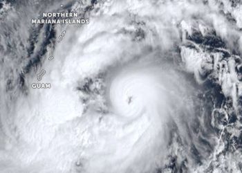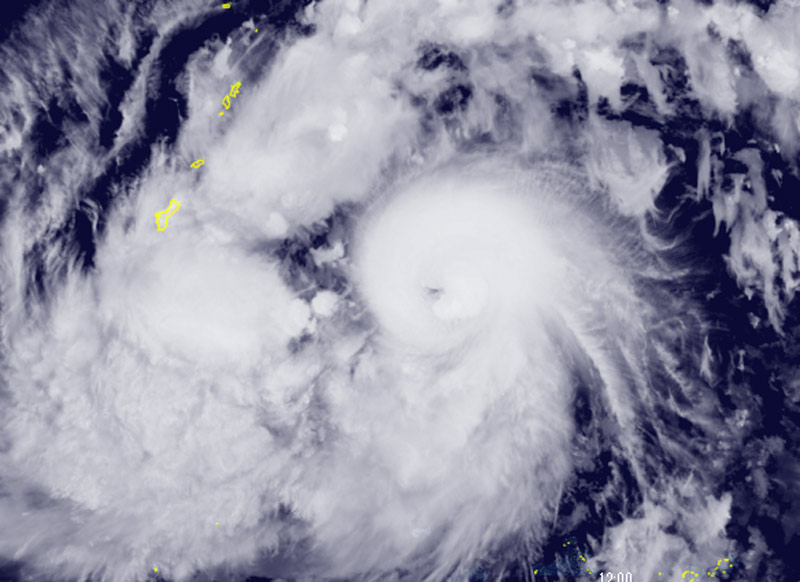
Champi is expected to continue intensifying rapidly over the next two days as environmental conditions become more favorable. Furthermore, according to the JTWC, wind shear is expected to drop below 20 km/h (10 knots) within two days, and the storm will move toward an area with higher ocean heat content (120–150 kJ per square centimeter).
A peak intensity of 250 km/h (135 knots) is projected to be reached in two to three days, though there is a possibility of even greater intensity, the JTWC stated.
While the storm’s closest point of approach to Guam remains consistent, updated intensity forecasts now indicate that Tinian and Saipan are within the area expected to be affected by strong winds over the next 12 to 48 hours, as Champi moves to the south of those islands.
Intensity guidance from various models shows a strong consensus regarding a period of rapid intensification (RI) over the next two days. Peak intensity predictions from the HAFS-A and Google DeepMind models have continued to rise, reaching 295 km/h (160 knots) and 260 km/h (140 knots), respectively.