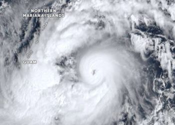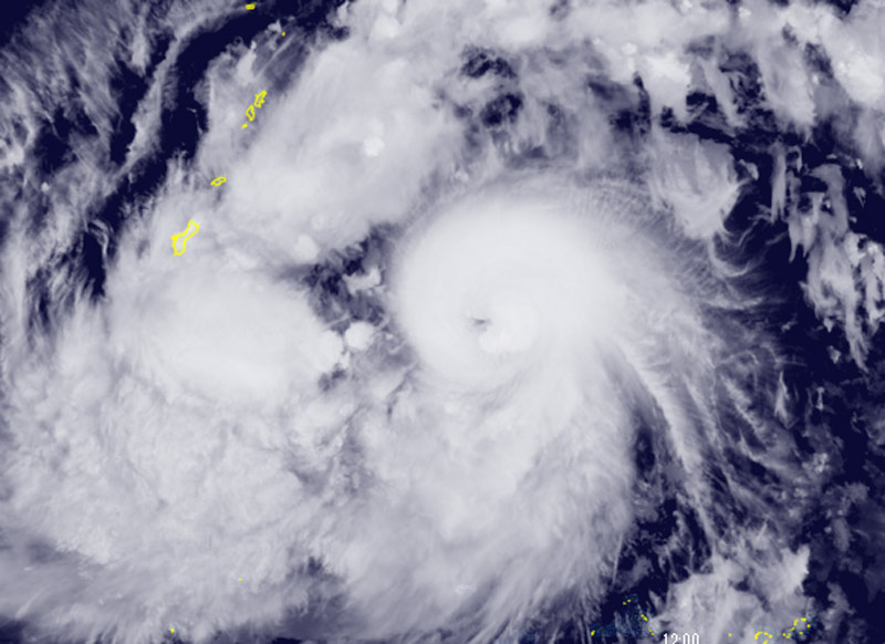
Darilaut – Tropical Storm Champi rapidly intensified into a typhoon east-southeast of Guam, in the western Pacific Ocean, on Saturday (October 17).
The system is moving in a west-northwesterly direction and is currently located 434 km from Guam.
Champi—the 30th named storm of the season according to the Japanese classification—has maximum sustained winds of 35 meters per second (65 knots) near its center, with peak gusts reaching 50 meters per second (95 knots).
According to the Japan Meteorological Agency (JMA), the system has a central pressure of 980 hPa (hectopascals).
The JMA reports that winds of 50 knots or greater extend 75 km (40 nautical miles) from the center, while winds of 30 knots or greater extend 440 km (240 nautical miles) to the northwest and 330 km (180 nautical miles) to the southeast.
The Hong Kong Observatory (HKO) states that Tropical Cyclone Champi will gradually intensify as it moves through the vicinity of Guam today and tomorrow (Sunday, October 18).
The cyclone is expected to track toward the waters east of Luzon early to mid-next week.
Beyond that, there is uncertainty regarding its path, with a higher probability that it will turn northward, moving across the waters east of Taiwan.
Over the past six hours, Champi has been moving at a speed of 24 km/h (13 knots). The Joint Typhoon Warning Center (JTWC) reports that maximum significant wave heights have reached 8.8 meters (29 feet).