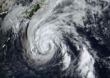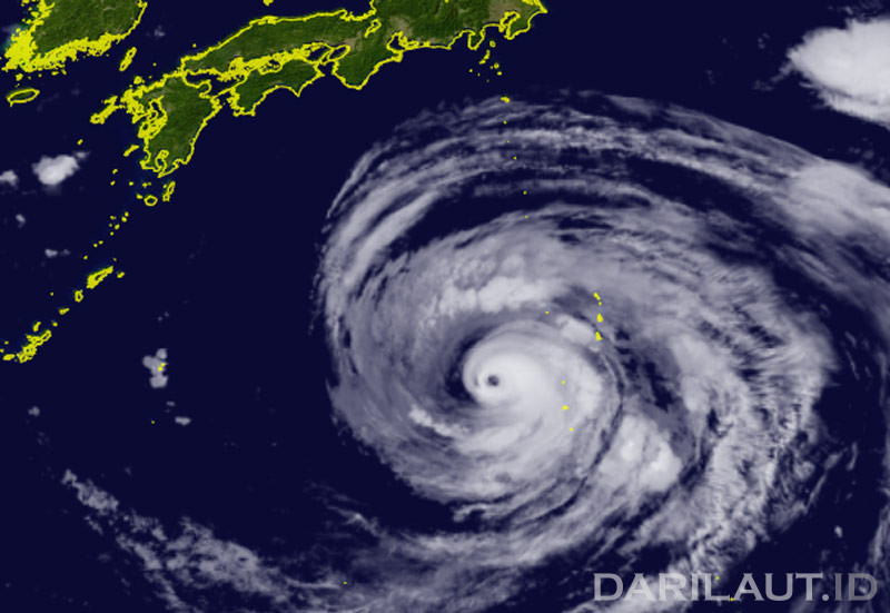
Darilaut – After crossing the Ogasawara Islands, Typhoon Dolphin is currently south of Tokyo, moving towards Okinawa Island on Wednesday (August 5). The system is bringing waves with a maximum height of 15.2 meters (50 feet).
Dolphin has weakened from a super typhoon, but maintains its intensity as a very strong typhoon.
As of early Wednesday morning, Typhoon Dolphin was located 1,140 km south of Tokyo and 1,170 km east of Okinawa.
The system is moving west at 15 km per hour (9 knots). The air pressure at its center is 945 hPa (hectopascals), according to the Japan Meteorological Agency (JMA).
According to the JMA, Dolphin has a maximum sustained wind speed around the center of 45 meters per second (85 knots), while the maximum instantaneous sustained wind speed is 60 meters per second (120 knots).
A storm surge with winds of 50 knots or more is expected across a 185-km (100 NM) area, and strong winds with winds of 30 knots or more are forecast across a 560-km (300 NM) area.
The Hong Kong Observatory (HKO) said Tropical Cyclone Dolphin in the western North Pacific will move across waters south of Japan today and tomorrow (Thursday, August 6). The system will move across the Ryukyu Islands in the East China Sea later this week.
However, according to the HKO, there are obstacles in its further movement, with a greater possibility of turning northward over the East China Sea toward eastern China.