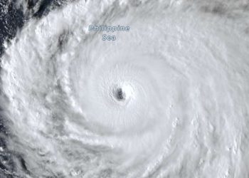
Darilaut – Typhoon Saudel has not fully dissipated after making landfall twice on the coast of Zhejiang Province, eastern China, on Friday (August 28) and moving inland.
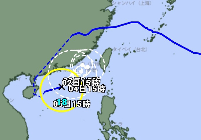
Currently, on Tuesday (September 1), Saudel—having regenerated into a tropical storm in the South China Sea—is located near Hong Kong.
Situated approximately 230 km south-southeast of Hong Kong, the storm is moving northeast.
Saudel has followed a long trajectory. The tropical cyclone began developing as a disturbance and became a tropical storm near Micronesia in the Pacific Ocean on the afternoon of Wednesday (August 19). Saudel then moved generally northwest, approaching Guam and passing north of the Northern Mariana Islands.
Subsequently, Typhoon Saudel moved toward southern Japan. It made landfall—or passed very close to—Wadomari on Okinoerabu Island, Japan, around midnight on Tuesday (August 25).
The storm moved west-northwest toward the East China Sea, bringing strong winds, heavy rain, and high waves to the small islands of southwestern Japan on Tuesday and Wednesday (August 26).
After crossing the East China Sea, Saudel made landfall on the coast of Yuhuan City—administered by Taizhou City—in Zhejiang Province, eastern China, on the morning of Friday (August 28). The landfall location in Yuhuan was the same as that of Typhoon Dolphin (afternoon of Sunday, August 9) and Typhoon Bavi (night of Saturday, July 11).